Isle Royale Journal - Spring, 2013
This journal details a trip to Isle Royale National Park, in the Spring of 2013, through words, pictures and videos.
This is a preliminary outline of what I hope to be a full movie one day featuring videos, pictures and narration of the trip. This was truly a unique trip and, most likely, a once in a lifetime experience on the island due to the conditions.

satellite may 5th.
9:30 am, 37° in shelter, 29.50” steady, steady:
We woke up around 8:30 and it was 37° in the shelter. I slept great and did not wake up once. It is all clouds with bright sun behind them and very little if any wind, the exact same conditions as yesterday. The snow continued to drip off the roof all night, but is starting to speed up now. The snow is melting fast and is quite slushy and slippery.

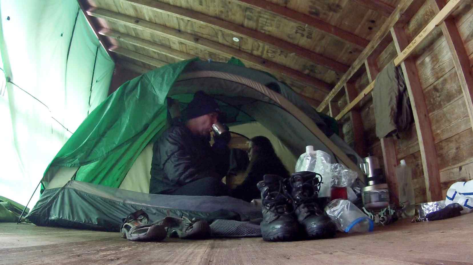
us in the shelter in the morning.
I am enjoying my second cup of coffee from the french press. We are still not positive what we are going to do. There is no real hurry to make a decision as it is a short paddle to Tookers Island and we can leave in the late afternoon if we decide to leave. It will take us longer to get the canoe in the water and loaded than it will to paddle over. We are also not sure where we will put it in because the snow will make the shoreline slippery. The longer we wait the less snow we will have to deal with. The place we have taken it out before was totally covered in snow, and of course, none of the floating docks are in the water.
We have moved out to the picnic table. The sky is hazy sunshine, but unlike yesterday, we can at least tell where the sun is. The snow has receded quite a bit compared to yesterday. There is a tree root showing now that we kept tripping over yesterday when it was buried in the snow. There is a single loon calling in the harbor as we sip on our coffee and talk. The dripping has slowed down as almost all of the snow is gone from the shelter roof.
12:15 pm, 54° on table (but it keeps going up and down with the sun haze):
We have decided to go to Tookers Island. We could stay here and explore, but it is very hard to walk around as the snow is still deep in the woods, and as it melts some, it is heavy and wet and it would make it hard to walk anywhere. Plus, if we go to Tookers, we are pretty much guaranteed being
alone. We figure they will be coming here to open things up at any time. It is time to start tearing down and packing everything up.

our canoe on the dock in rock harbor.

path to our launching site near the dock.
2:30 pm:
We just got backfrom taking the first load down and we moved the canoe to the dock. We are going to launch from the same place we landed at previously. Just to the north of the big dock and west of the store by the water intake where there is a slight cove. The snow has melted a lot down by the dock and it is almost completely clear. This is the same place we scooped up water the evening before and it was completely covered with snow and slippery. You can also tell by this picture of us, the snow at the shelter has melted a lot. After taking this picture, we swept out the shelter, loaded up the rest of our stuff and went down to take off.

us by shelter #1 at rock harbor before leaving.

map of route.
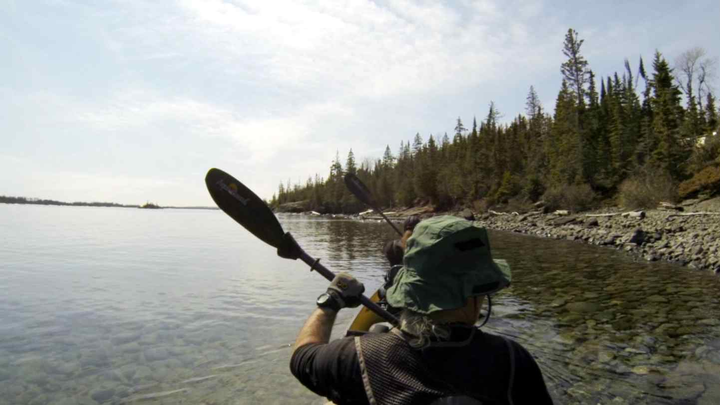
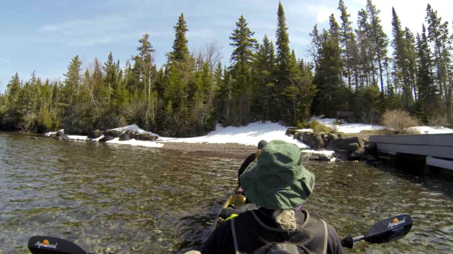
taking off from rock harbor for tookers island.
[Note: the audio from the video was not used because the sound quality was not good]

video: paddle to tookers - 2x Speed (17:17)

video: paddle to tookers – 12x speed (3:07)
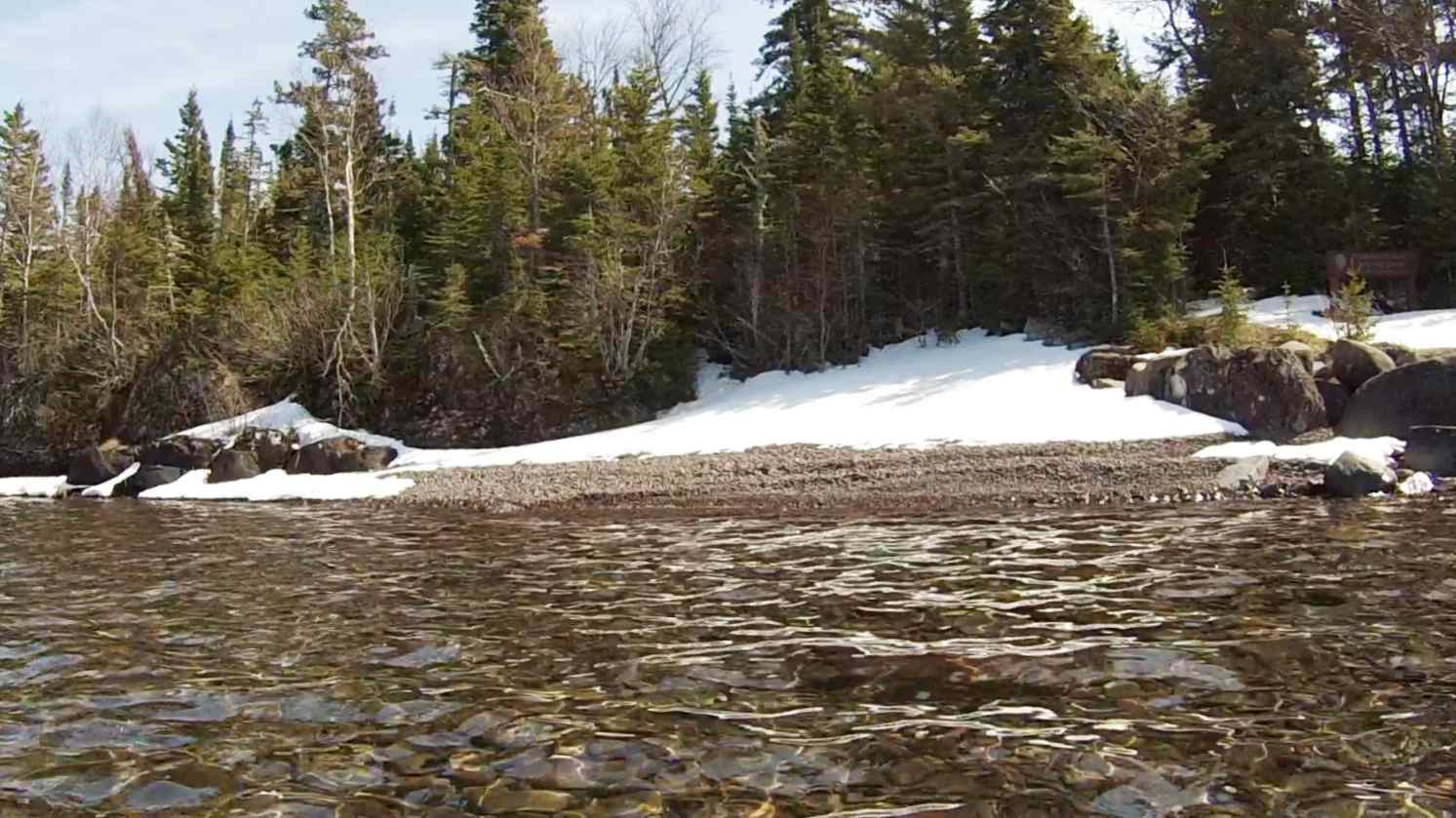
landing at tookers island dock.

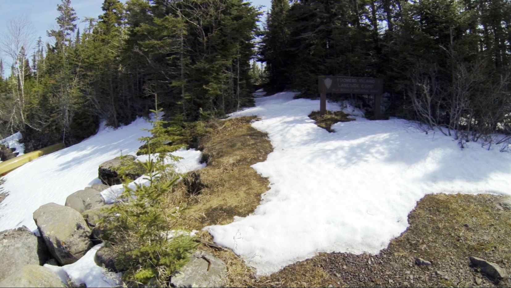
trail to the campground (with no footprints).

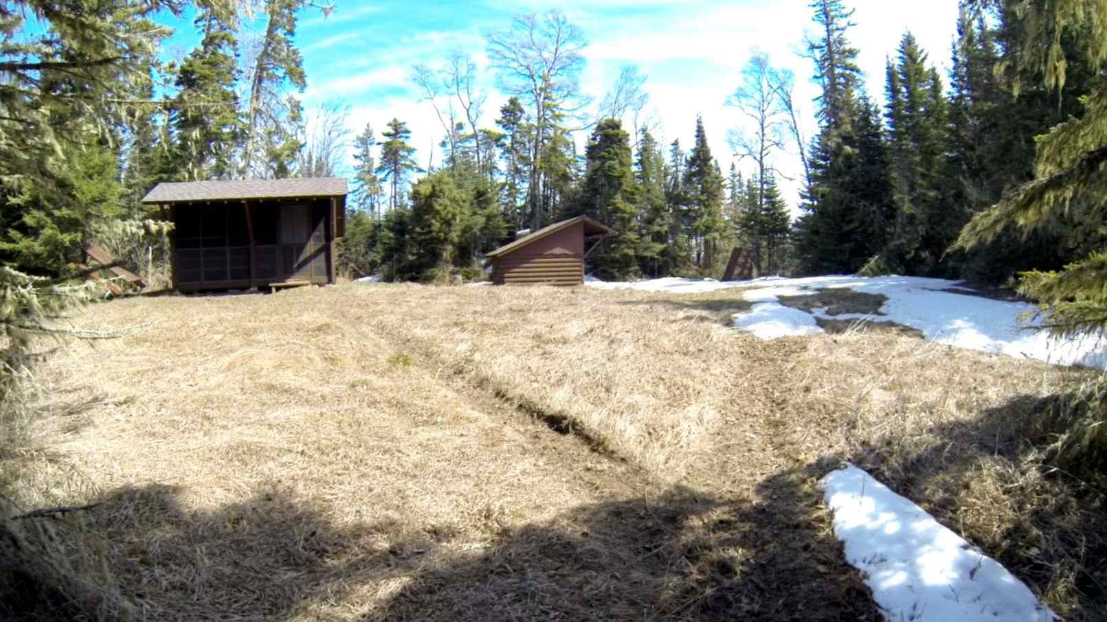
the meadow by the shelters.

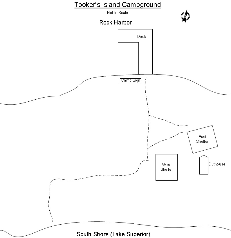
campground layout from isle royale info" book.
We are at Tookers Island Campground. The paddle was very easy and pleasant. We took our time and enjoyed the views. The snow is heavy on all of the north shores and has pretty much melted on all of the south shores we could see. The pictures below show the south shore of Rock Harbor on the left and the north shore of Smithwick Island directly across on the right.

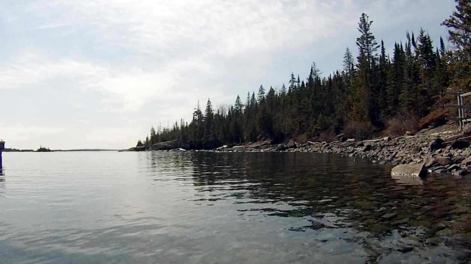
south shore of rock harbor.

north shore of smithwick island.
We dropped our first load off and headed over to the south side of the island. There was no snow there and we sat in the sun for a bit before coming back. We then went down to the dock; pulled the canoe up and tied it to a tree, then carried the rest of our stuff up to the shelter. We had to drag the table over as it was leaning against a tree. We then emptied our packs and began setting up our house for the night. The shelter was completely dry, unlike the one at Rock Harbor. By 5 o’clock we were completely setup with stuff out to dry and all of solar panels charging batteries in the warm and bright sun and we were sitting on the table soaking in the warmth. We have a nice meadow with very little snow in it. Especially compared to Rock Harbor and the woods, where anywhere you walked, there was snow. The sun feels great after being in all of the moisture for the previous day and morning. We were surrounded by the sounds of birds and had a loon calling out on the lake. This was a really good move. The open meadow should offer a nice view of the sky, and if there is any sun in the coming days, we will be in it. I am pretty warm right now. I would put comfy clothes on, but we still have to go and “scoop” up some water for the night.

the south shore of tookers island.

video: tookers island campground view - 5pm (1:54).
6:40 pm:
We are heading over to the south shore to scoop up some water for filtering. Then we are going to heat up our water for dinner, put it in the oven and put comfy clothes on. It’s good to have a plan!
8:05 pm:
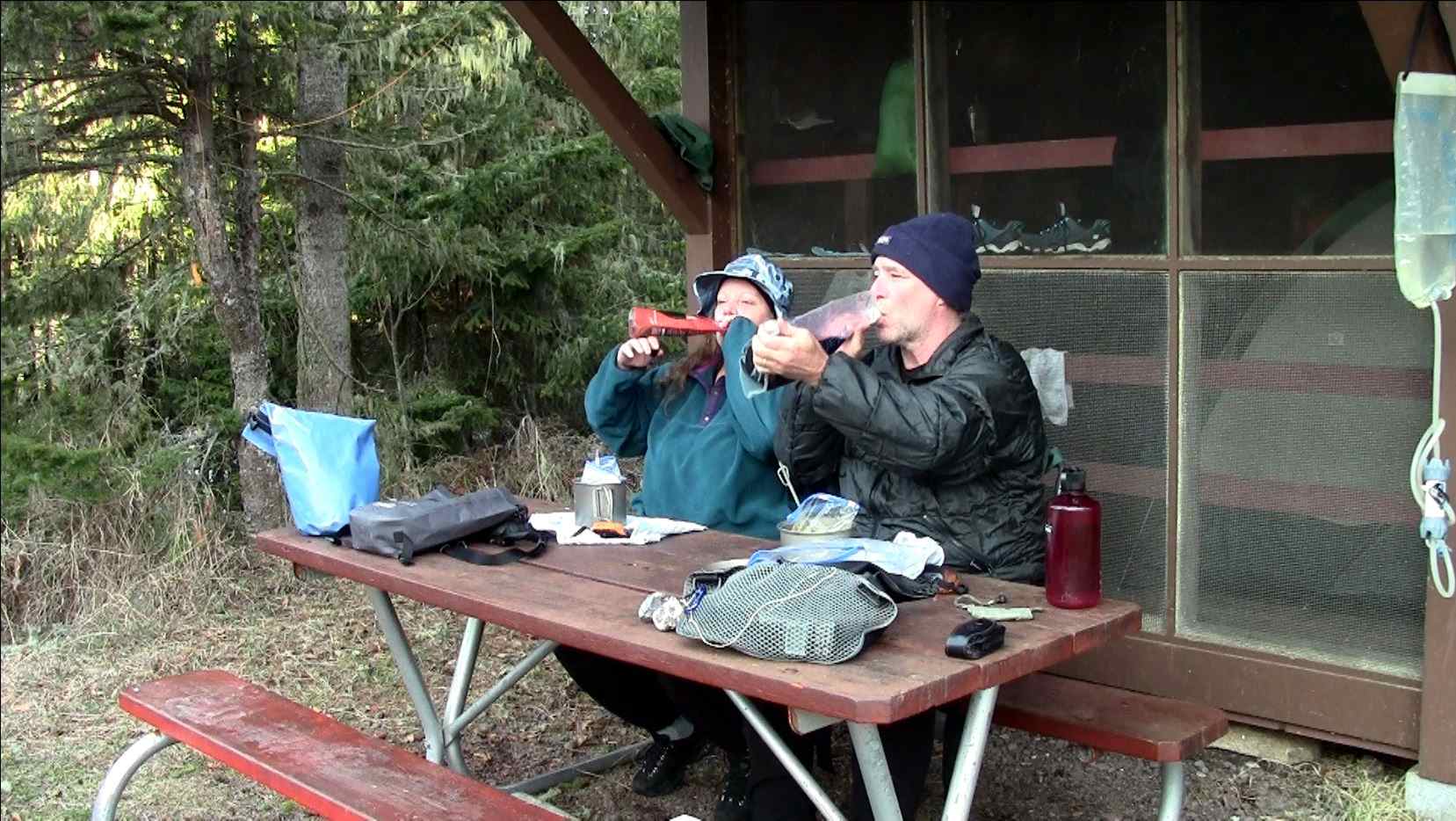
We are just eating our first dinner on Tookers Island. It is much more enjoyable than last night when we were in the shelter and a bit chilled. Tonight we are sitting on the table surrounded by the sounds of nature. I am having Ramen noodles with some corn and beef thrown in and Nancy is having plain Ramen. We are both having wine. The picture is our toast to Tookers Island and the sunshine. It looks like it is going to be a nice sunset,
so we are planning on going down to watch it as soon as we finish eating.

toast to tookers island and the sunshine.
8:37 pm:
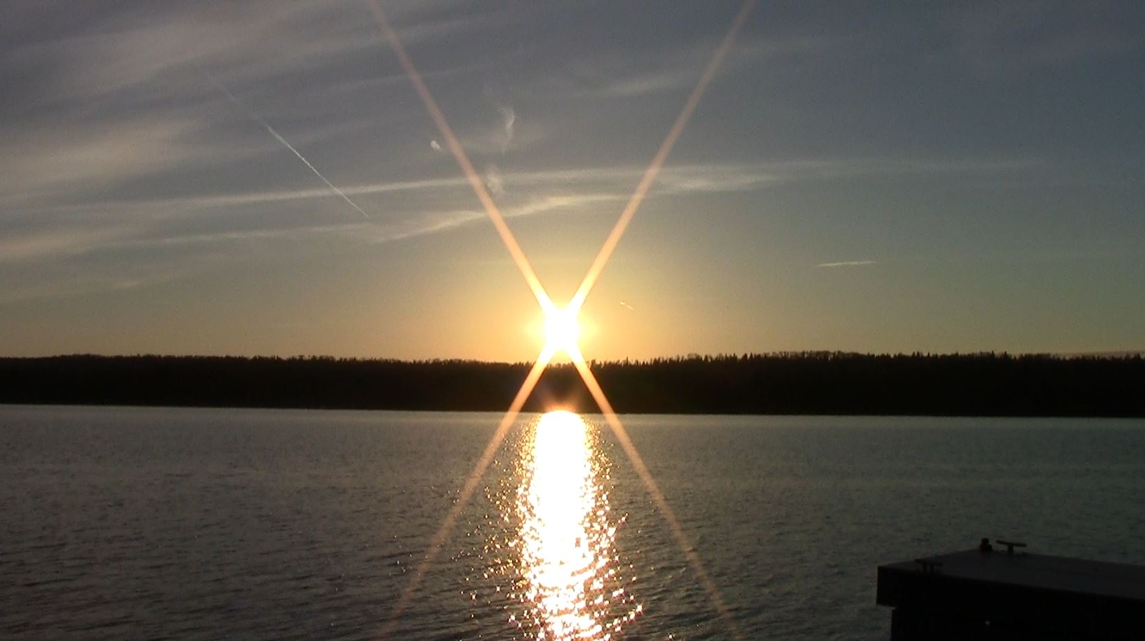
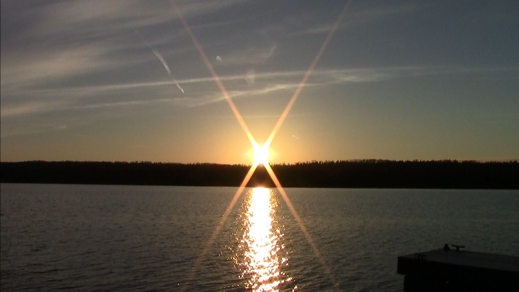
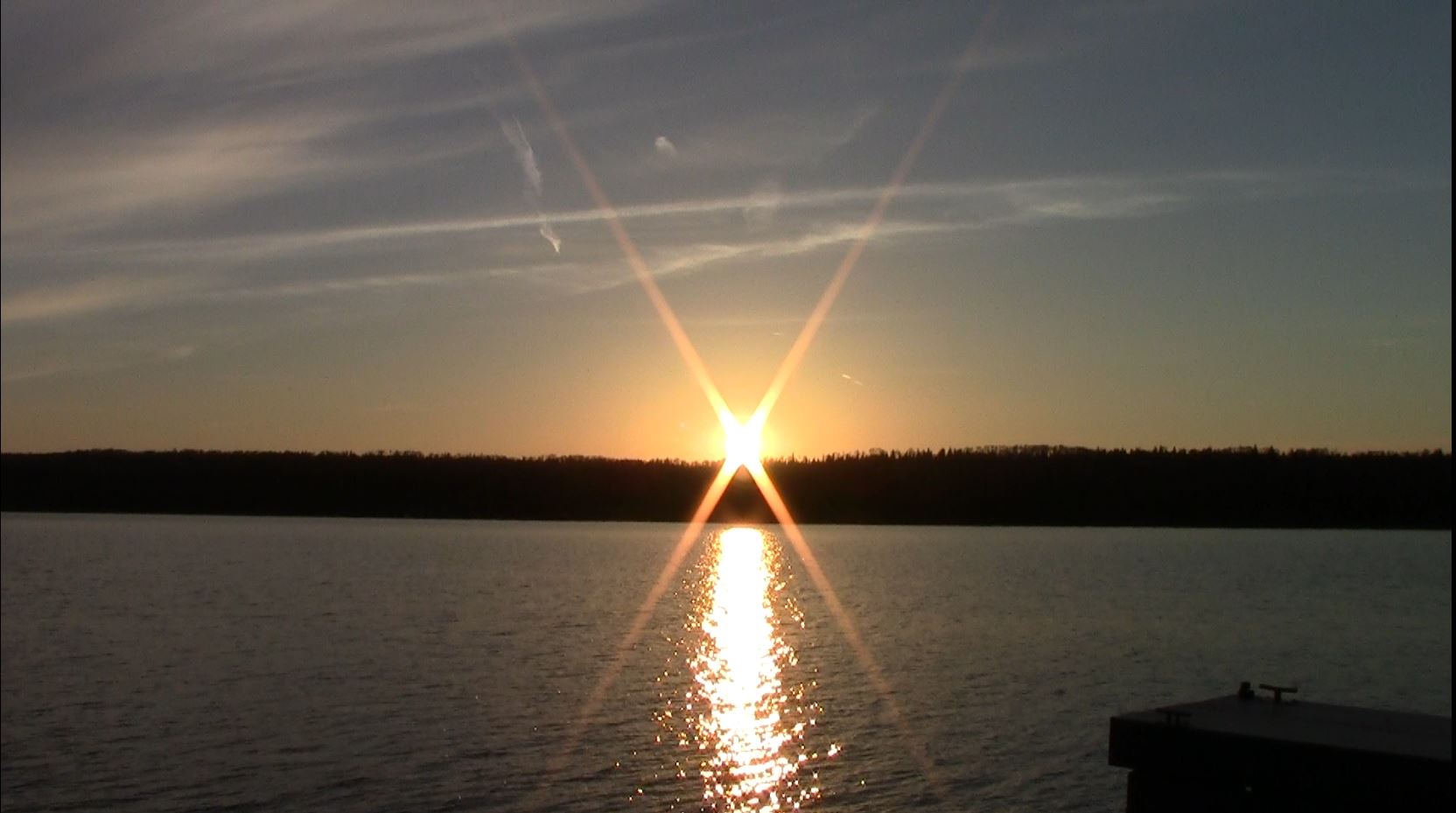
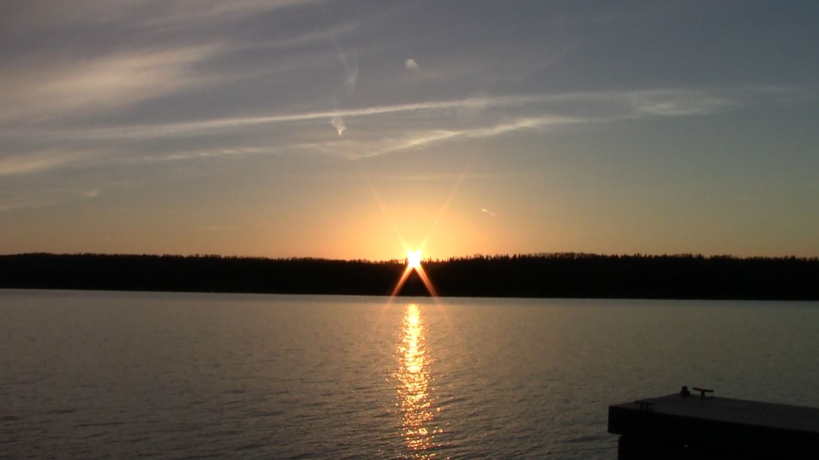
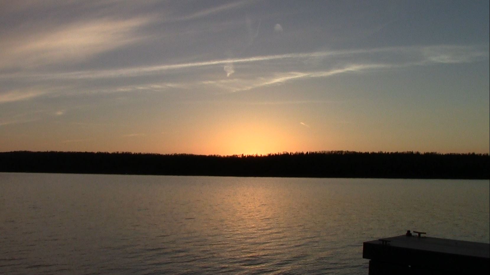
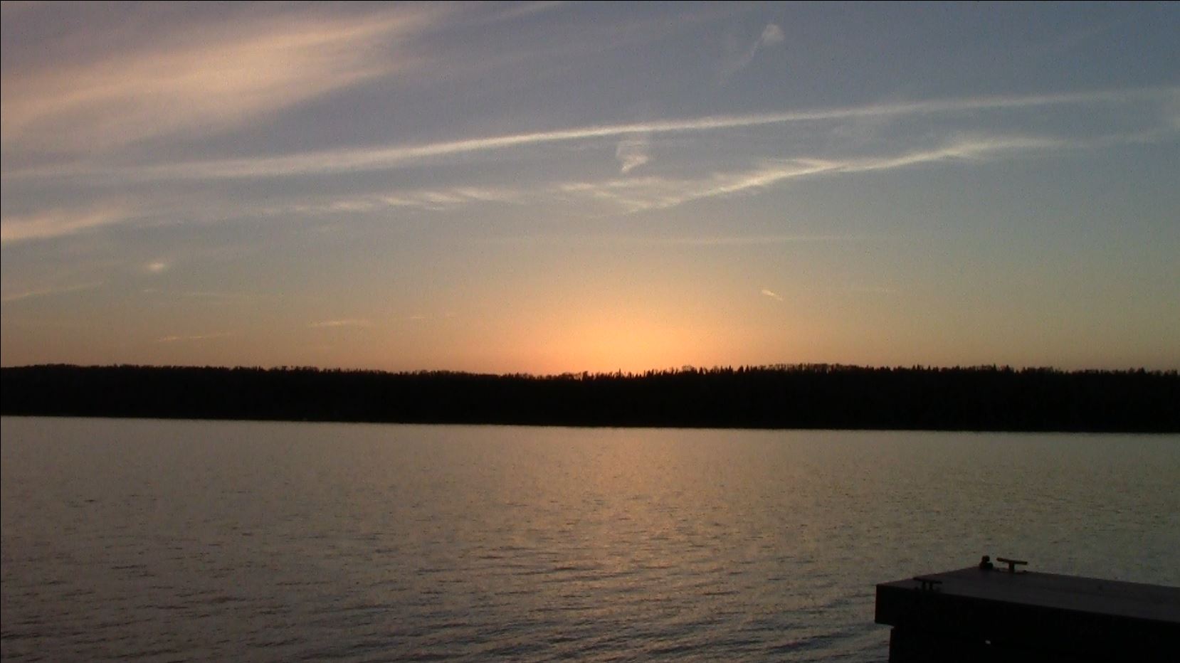
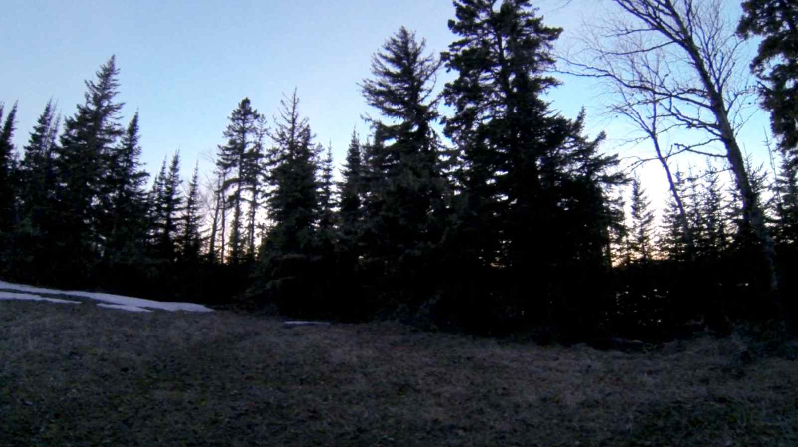
We are going down to enjoy the sunset. The first one of this trip.
[Note: the audio from the video was not used because there was a lot of wind noise]

video: sunset at tookers 12x speed (1:52).

video: sunset at tookers – 3.75x speed (5:51).
9:30 pm, 45° outside:
We are back from the sunset and are sitting at the picnic table. We will most likely head into the tent soon. Once again there is a pair of loons calling in the harbor. It is a whole lot warmer tonight. There is no wind to speak of and the air is not as damp.

picnic table view at 9:40 pm.

